by
James Mercer
Norway
On this site I will be posting interactive 360 degree panoramas that I have taken in Norway using various multirotor Drones. Some are also taken at ground level using a normal camera tripod with a DSLR camera. The panoramas are numbered sequentially, starting from my earliest attempts (Panorama 1). As you go down the list you will see that the quality becomes better as my image capturing and processing techniques improve. This web site in its present format is very simple since it is still under development and will hopefully improve as time moves on. The first 39 panoramas were taken from sites near the city of Tromsoe in Northern Norway. Panorama 40 was taken in Svelvik on the Drammen fjord in southern Norway.
PANORAMA 1
Click for Panorama - when it opens click full screeen (last symbol on right) - confirm with "allow"
PANORAMA 2
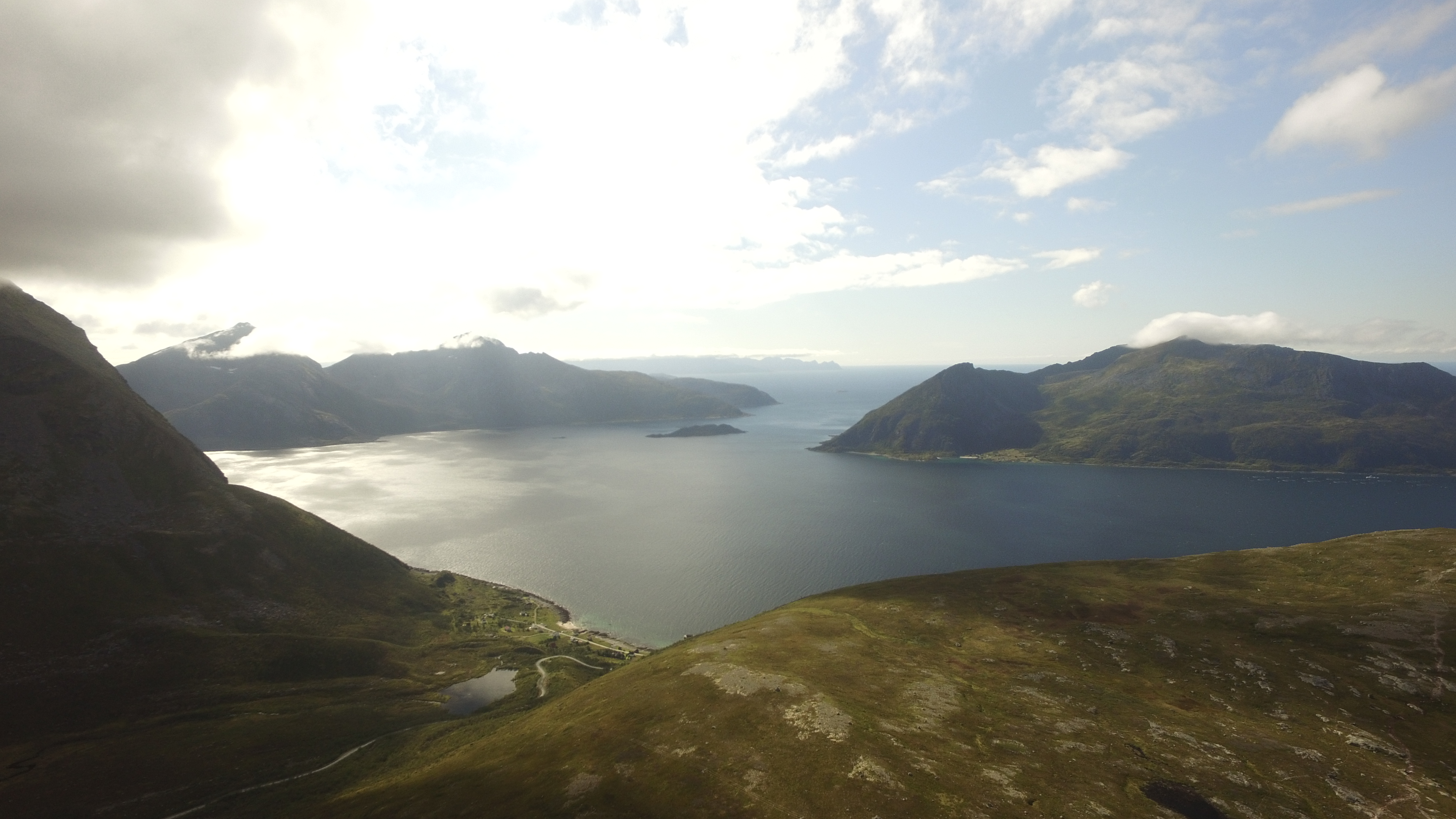
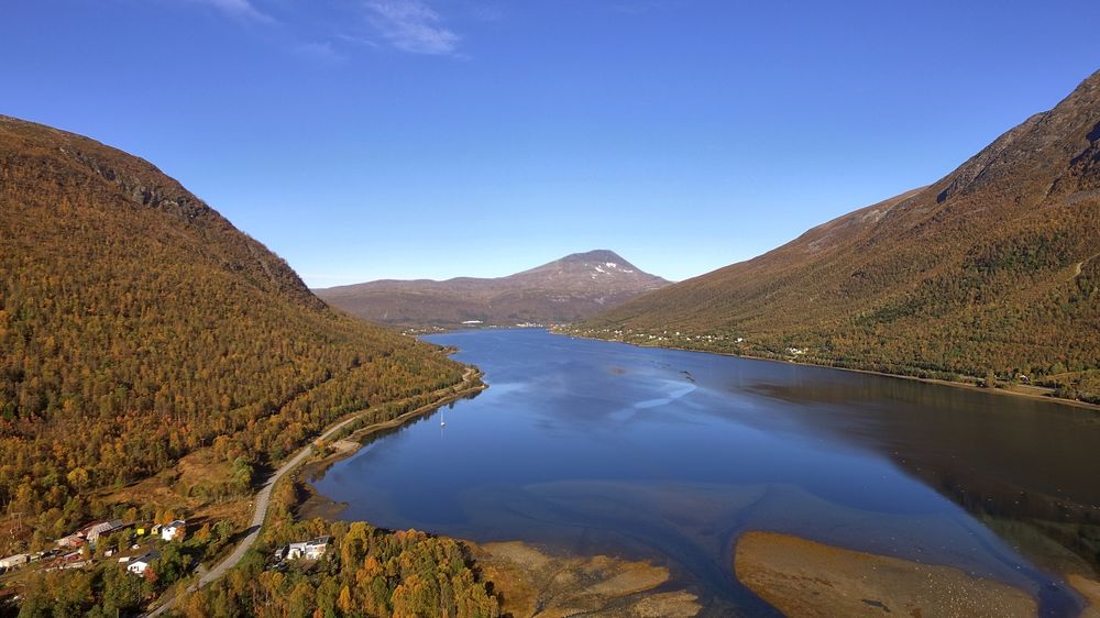
PANORAMA 3
Click for Panorama of Kaldfjord
PANORAMA 4
Click for Panorama
PANORAMA 5
Click on the line below to see the interactive 360 Panorama
Click on the line below to see the interactive 360 Panorama
PANORAMA 6
Click on the line below to see the interactive 360 Panorama
Click on the line below to see the interactive 360 Panorama
PANORAMA 7
Click on the line below to see the interactive 360 Panorama
(using Litchi automatic PANO (360 degree) capture function). In the PANO sub menu I choose 27 different camera angles with 3 bracketed (+2ev, 0ev and -2ev) images at each angle. Each of the 3 bracketed images for each angle were further processed using EasyHDR3 to create a single HDR image. All 27 HDR images were further processed in PTGUI to form a panorama image which was then converted into a spherical panorama using PANO2vr. Using HTML code this was then inserted into the web site.
PANORAMA 8
Click on the line below to see the
interactive 360 Panorama
PANORAMA 9
Click on the line below to see the interactive 360 Panorama
Click on the line below to see the interactive 360 Panorama
PANORAMA 11
Click on the line below to see the interactive 360 Panorama
Click on the line below to see the interactive 360 Panorama
PANORAMA 12
Click on the line below to see the interactive 360 Panorama
Click on the line below to see the interactive 360 Panorama
Click on the line below to see the interactive 360 Panorama
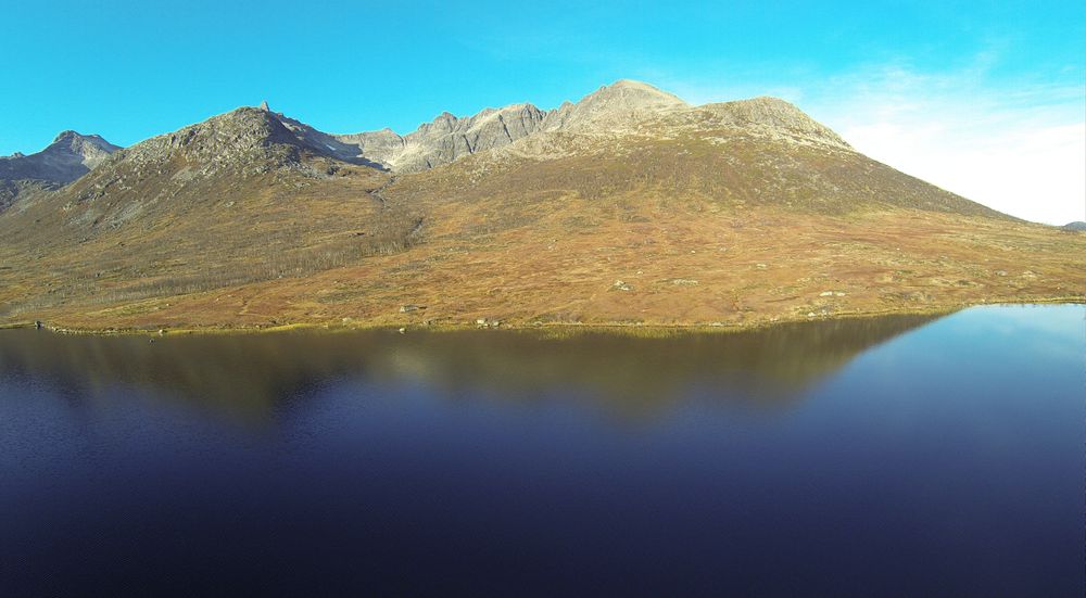
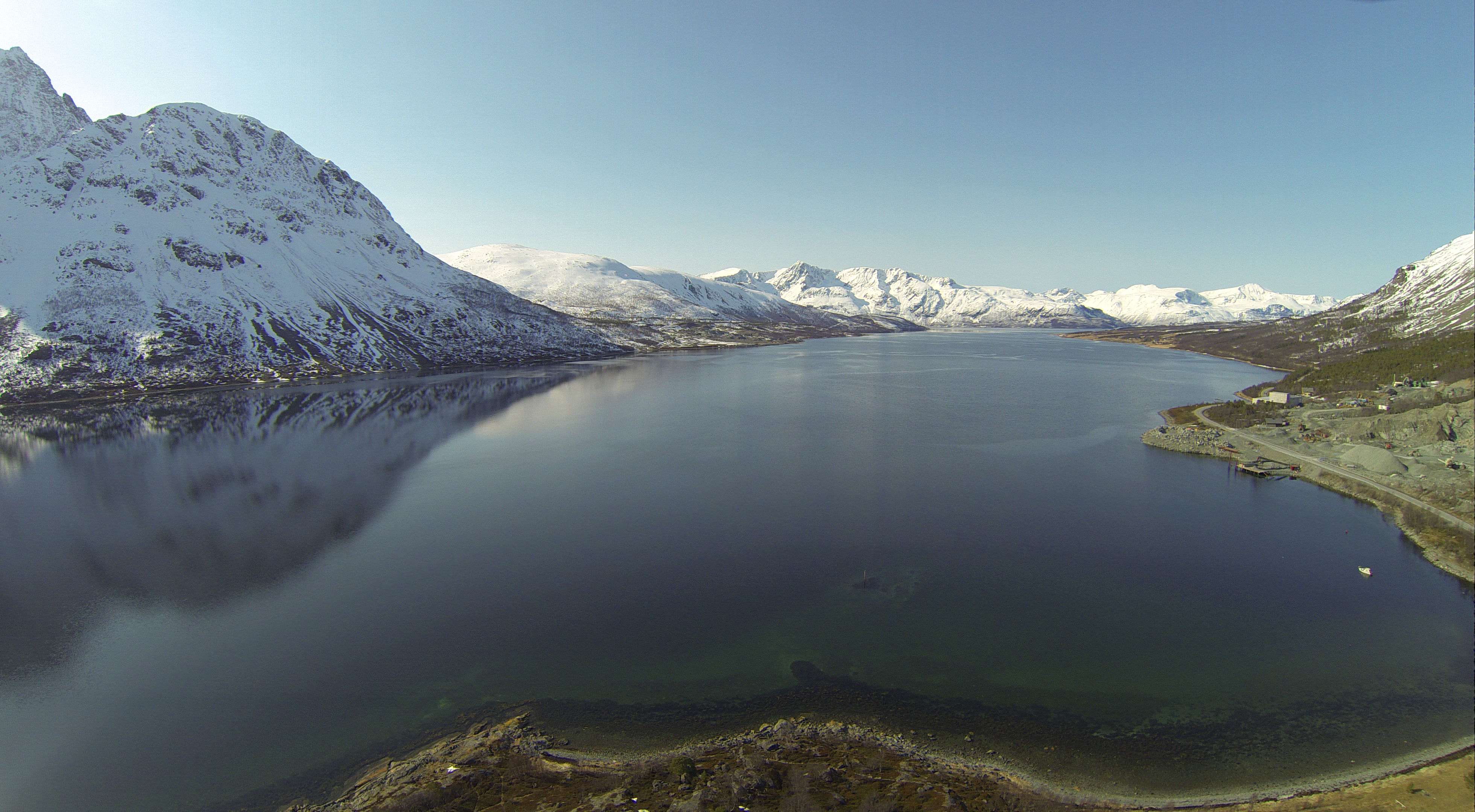
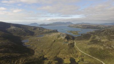
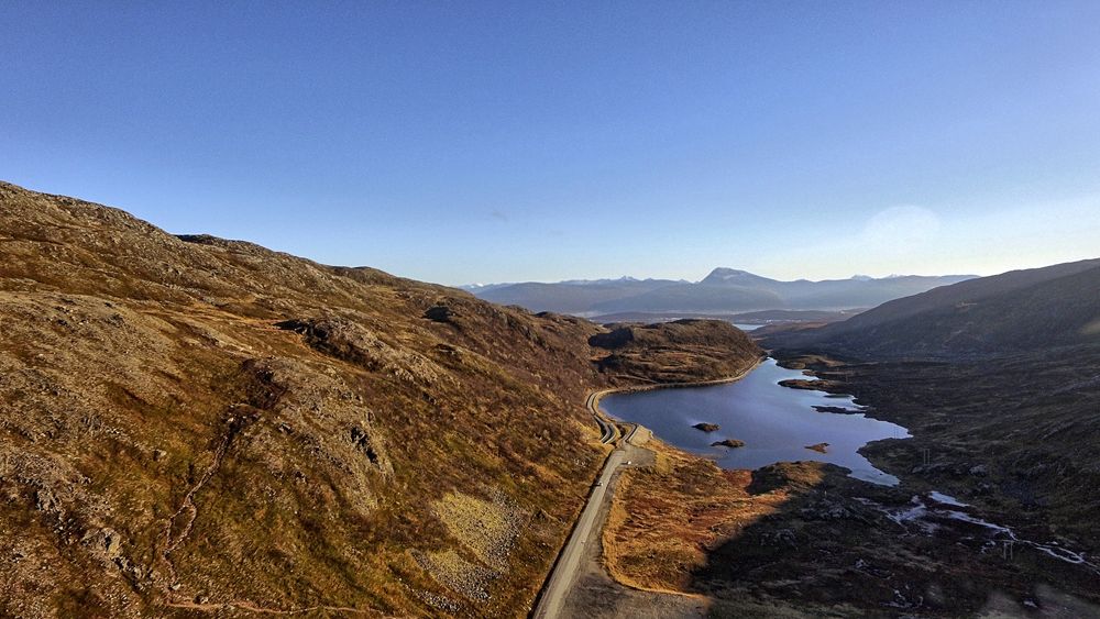
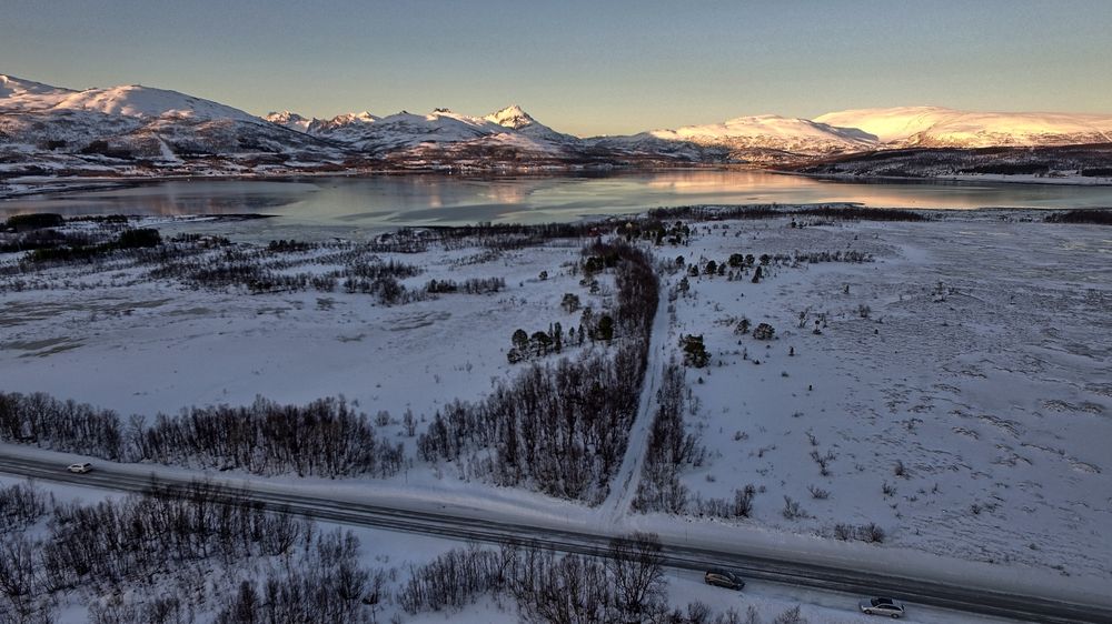
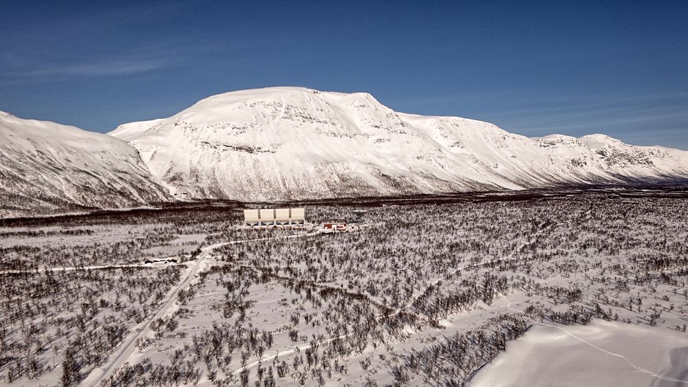
Mountain pass between Kvalsund and Skarsfjorden on the island of Ringvassoya near Tromsoe
PANORAMA 14
PANORAMA 16
Click on the line below to see the interactive 360 Panorama
Click on the line below to see the interactive 360 Panorama
PANORAMA 17
Click on the line below to see the interactive 360 Panorama
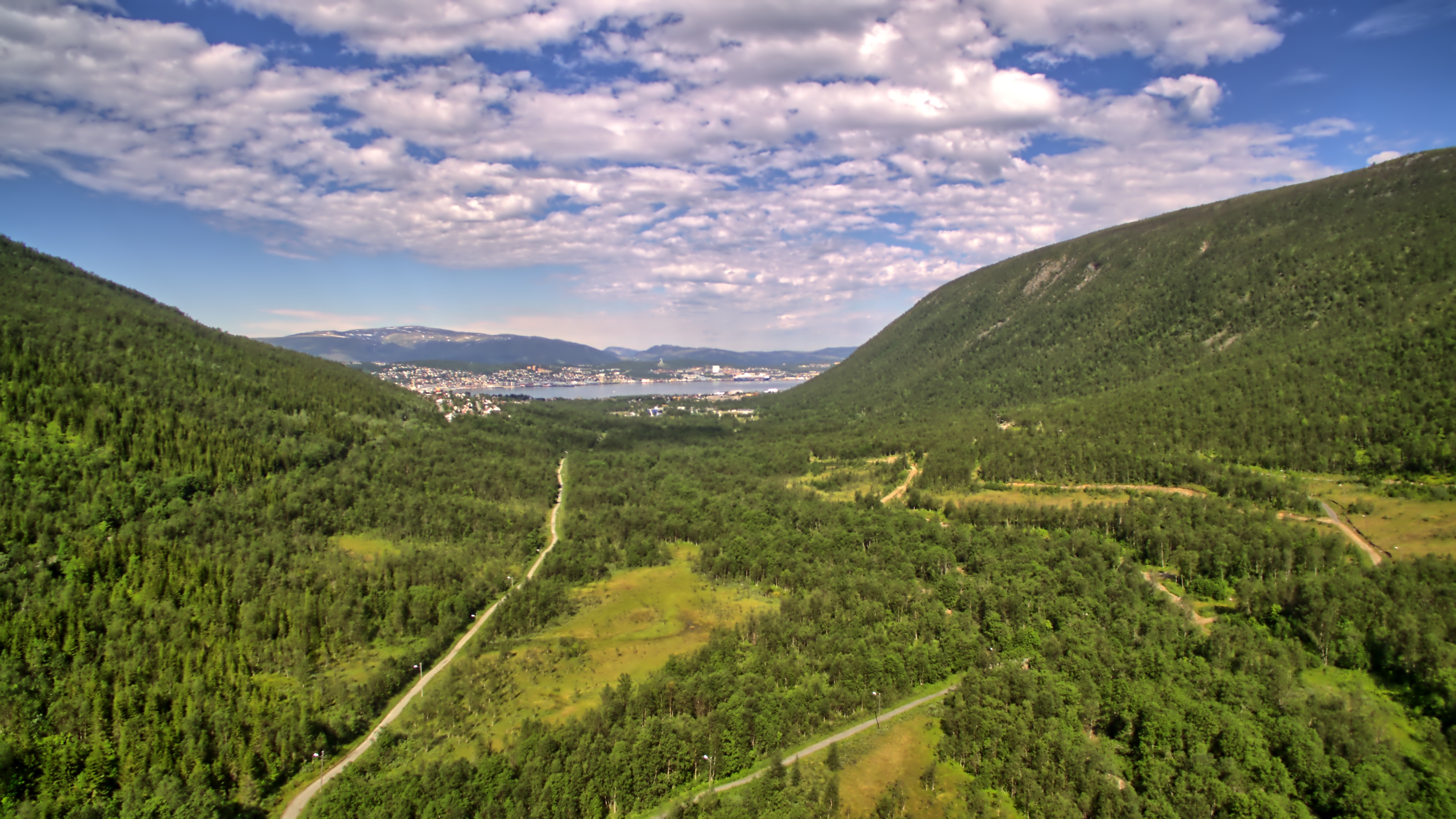
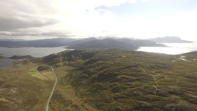
Andersdal near Tromsoe
PANORAMA 20
Click on the line below to see the interactive 360 Panorama
Heinrikvik gravlund Kaldfjord near Tromsoe
PANORAMA 21
Click on the line below to see the interactive 360 Panorama
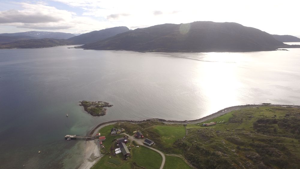
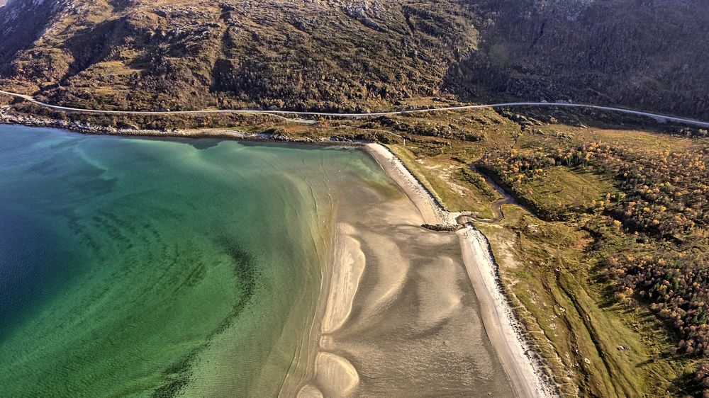
Sandvik beach at Brensholm near Sommaroy close to Tromsoe city
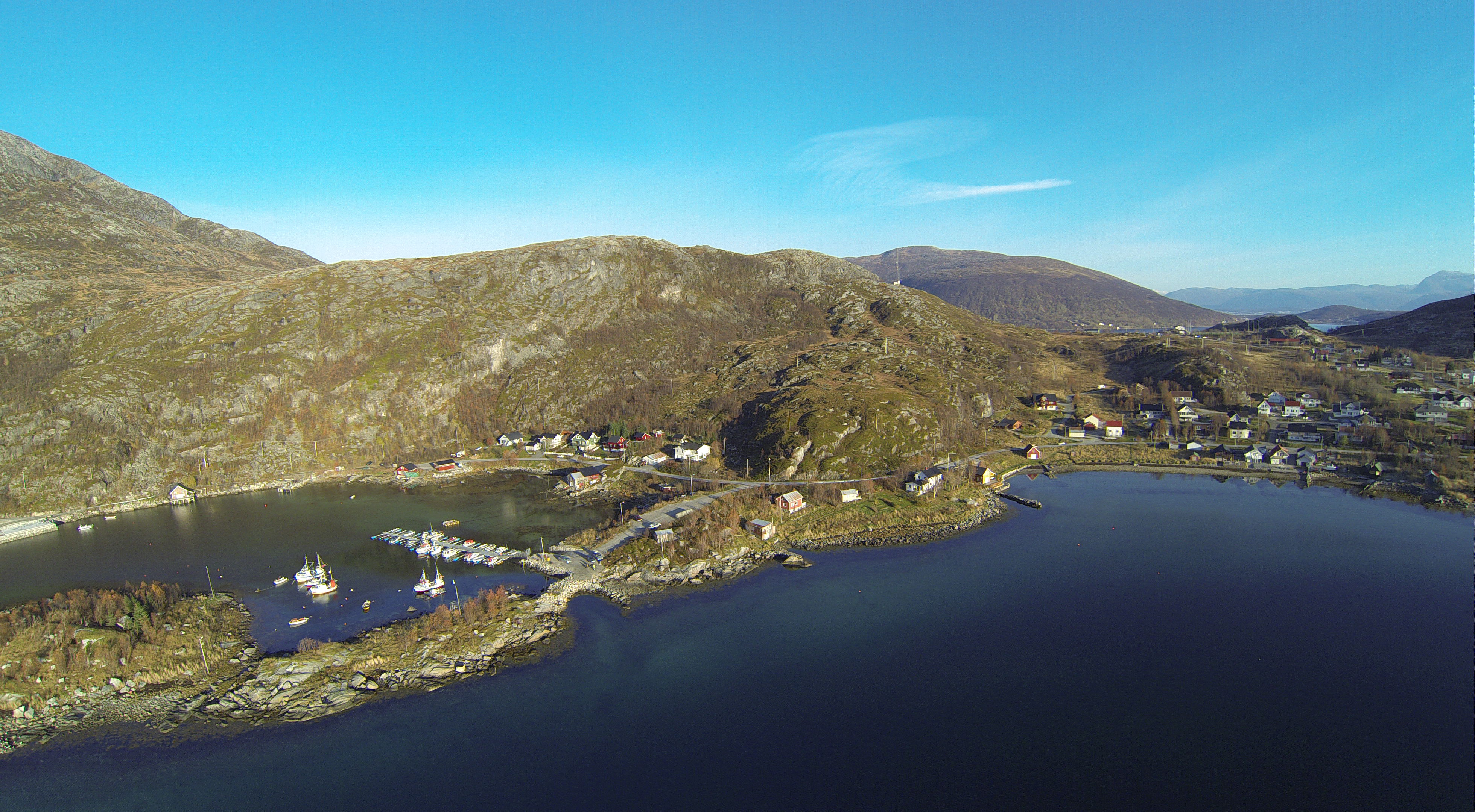
PANORAMA 23
Click on the line below to see the interactive 360 Panorama
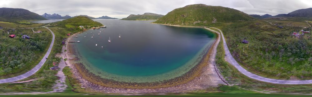
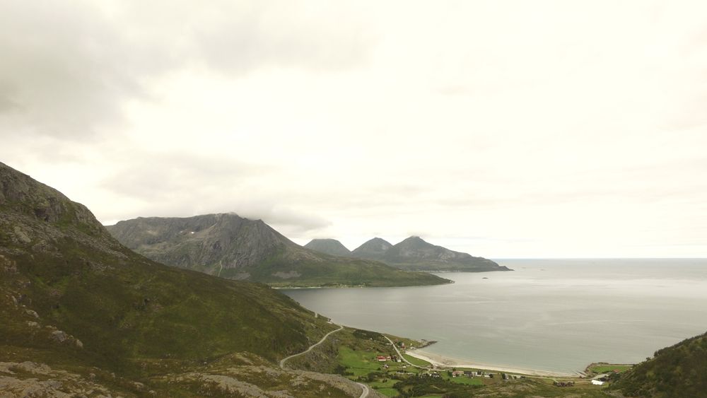
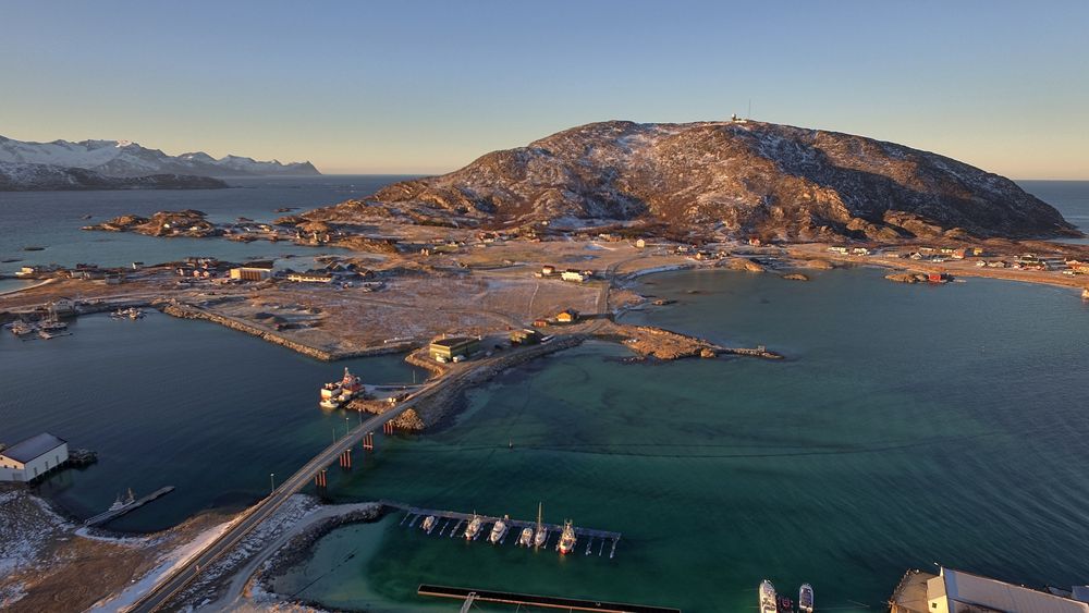
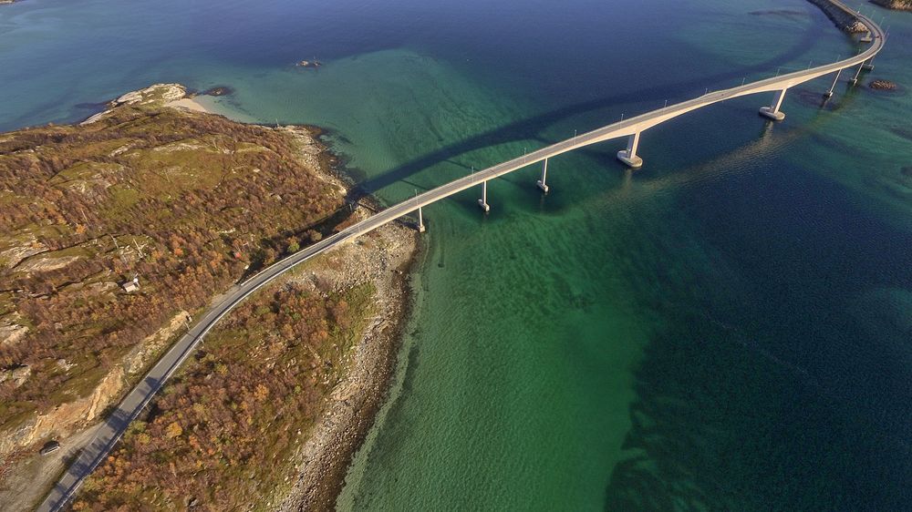
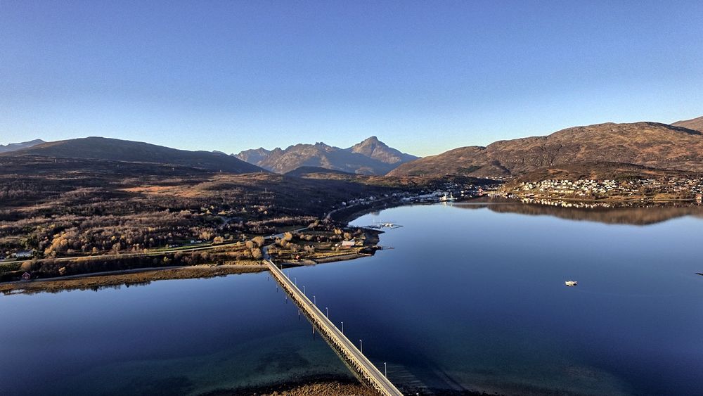
Sommaroy bridge, Sommaroy near Tromsoe city
Click on the line below to see the interactive 360 Panorama
Sommaroy bridge, Sommaroy near Tromsoe city
PANORAMA 24
Click on the line below to see the interactive 360 Panorama
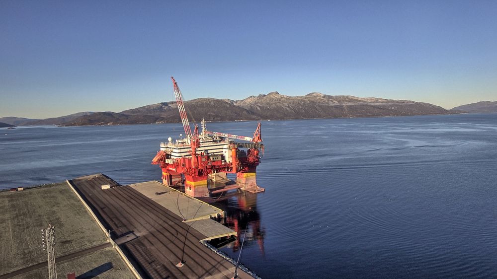
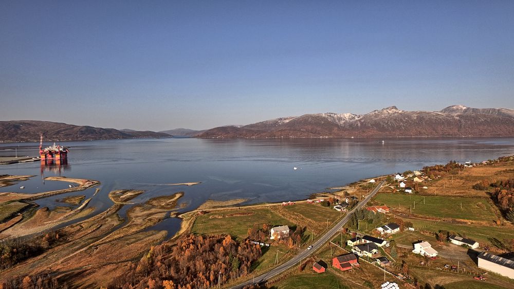
Floating Hotel Rig Tonsvika near Tromsoe, North Norway
October 2016 in North Norway. The late
afternoon sun is very low on the horizon.
DJI Phantom 3 pro camera. Manuel photography using DJI GO. Gimbal movement +30 to -90 degrees.
Bracketing function (-2, 0 and +2ev). HDR rendering using easy-HDR. Stitching using PTgui and web format preparation using Pano2VR
DJI Phantom 3 pro camera. Manuel photography using DJI GO. Gimbal movement +30 to -90 degrees.
Bracketing function (-2, 0 and +2ev). HDR rendering using easy-HDR. Stitching using PTgui and web format preparation using Pano2VR
PANORAMA 25
Click on the line below to see the interactive 360 Panorama
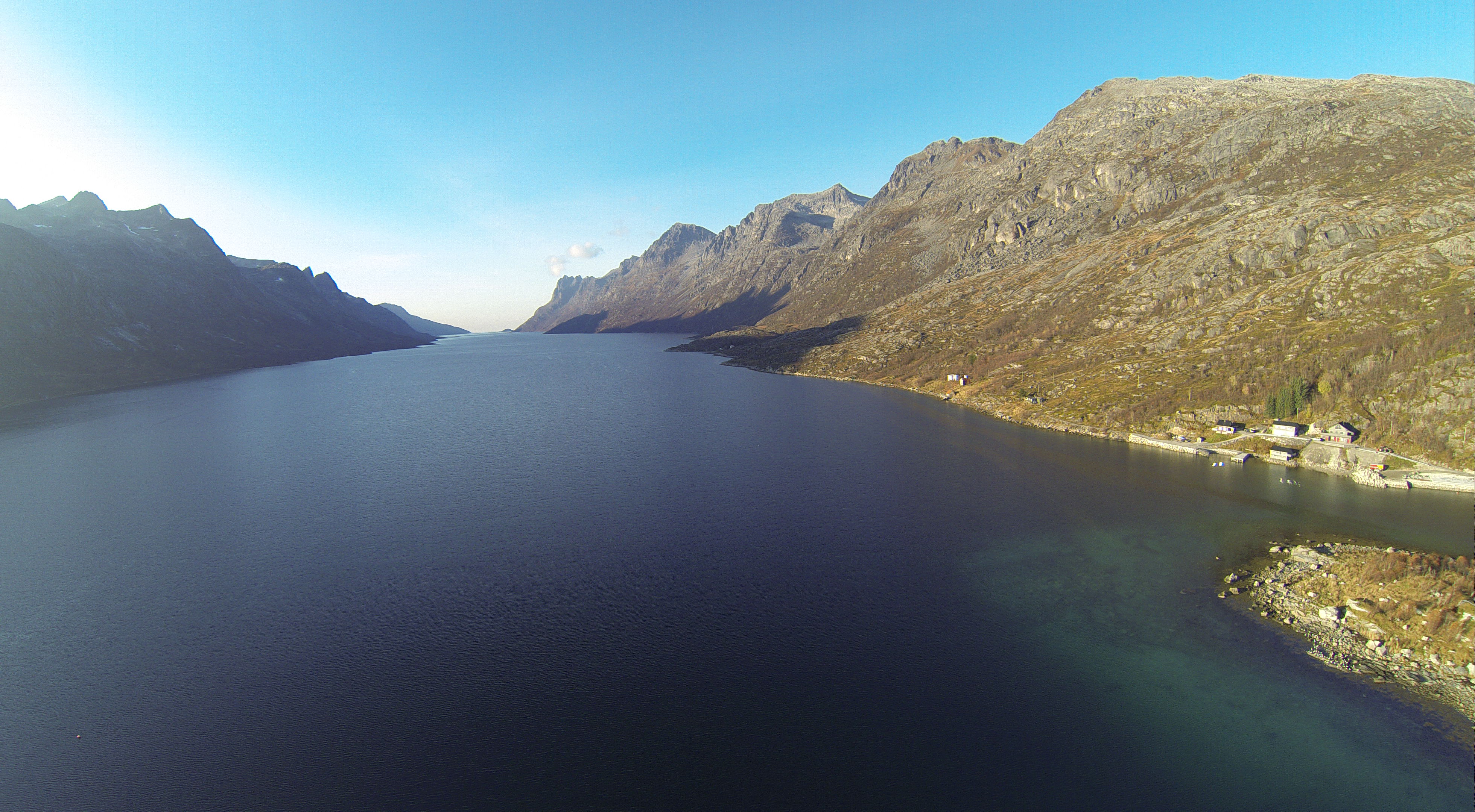
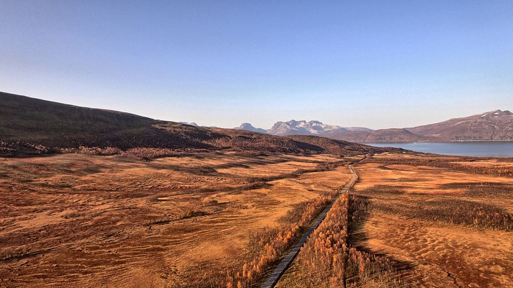
Top of Finnvikdalen near Tromsoe , North Norway
October 2016 in North Norway. About 2pm with low sun. Difficult Panorama conditions with rapidly shifting shadows and sun glare.
DJI Phantom 3 pro camera. Manuel photography using DJI GO. Gimbal movement +30 to -90 degrees.
Bracketing function (-2, 0 and +2ev). HDR rendering using easy-HDR. Stitching using PTgui and web format preparation using Pano2VR
PANORAMA 26
Click on the line below to see the interactive 360 Panorama
Bridge area leading to the small island of Haakoya near Tromsoe, North Norway
October 2016 in North Norway. About 4 pm with low sun. Difficult Panorama conditions with sun glare.
DJI Phantom 3 pro camera. Manuel photography using DJI GO. Gimbal movement +30 to -90 degrees.
Bracketing function (-2, 0 and +2ev). HDR rendering using easy-HDR. Stitching using PTgui and web format preparation using Pano2VR.
PANORAMA 27
Click on the line below to see the interactive 360 Panorama
Tisnes near Tromsoe, North Norway
October 22, 2016. This was a first test with Litchi Auto Panorama function. Total ca 210 images. First took 3 rows (started at +30 degrees and then used 20 degree gimbal angle difference for each row). 10 images on each row. Each image taken 3 times with bracketing function (+/- 2 ev). After the first 3 rows were taken I adjusted camera settings in flight and took 3 more rows and another 3 different camera tilt angles Finaly took a single row to ensure good overlap at -80 degree gimbal angle. Main problem today was a) light conditions with low sun angle. b) no ND filter - removed lens protector. c) P3 had not always fully settled down (stabliized) between shots and causing small movement artifacts with the bracketing function. This problem has to be addressed. All in all a reasonable satisfactory test of the Litchi auto Panorama function but marred by small camera movements while taking images.
PANORAMA 28
Click on the line below to see the interactive 360 Panorama
Straumsbukta skole, Straumsbukta near Tromsoe, North Norway
Click on the line below to see the interactive 360 Panorama
Straumsbukta skole, Straumsbukta near Tromsoe, North Norway
PANORAMA 29
Click on the line below to see the interactive 360 Panorama
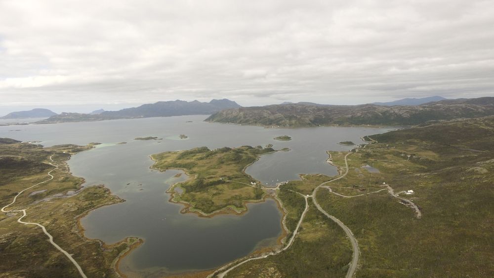
Kvaløy near Villmarkssenter (Sørbotn)
PANORAMA 30
Click on the line below to see the interactive 360 Panorama
Sørbotn - top of Ramfjord near Tromsoe
Click on the line below to see the interactive 360 Panorama
Sørbotn - top of Ramfjord near Tromsoe
PANORAMA 31
Click on the line below to see the interactive 360 Panorama
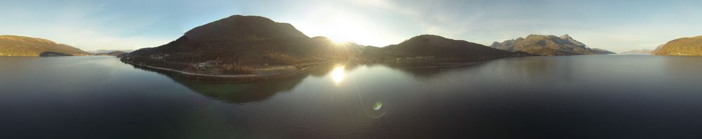
Nordfjordbotn, Nordfjord, near Tromsø in Northeren Norway
DJI Phantom 3 Pro using a ND4 filter, 100 ISO, 1/60 shutter, 3 times bracketing (EV-1,0,+1), Image converted to HDR format using EasyHDR3, then allined and stitched with PTGui. Formatted for internett viewing using Pano2VR. The imager was taken on 11th Fed in the late afternoon with the sun very close to the horizon (behind clouds).
Click on the line below to see the interactive 360 Panorama
Nordfjordbotn, Nordfjord, near Tromsø in Northeren Norway
DJI Phantom 3 Pro using a ND4 filter, 100 ISO, 1/60 shutter, 3 times bracketing (EV-1,0,+1), Image converted to HDR format using EasyHDR3, then allined and stitched with PTGui. Formatted for internett viewing using Pano2VR. The imager was taken on 11th Fed in the late afternoon with the sun very close to the horizon (behind clouds).
PANORAMA 32
Click on the line below to see the interactive 360 Panorama
Sommarøy Feb 10th 2017, low sun
Click on the line below to see the interactive 360 Panorama
Sommarøy Feb 10th 2017, low sun
PANORAMA 35
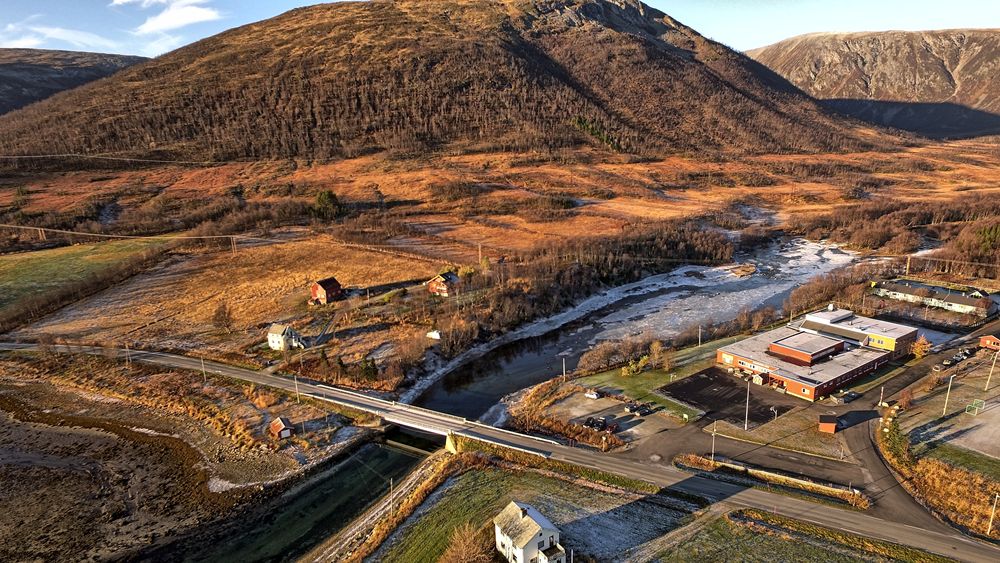
Tønsvik er ei bygd i Tromsø kommune. Den ligger i Tønsvika, på sørsida av Grøtsundet, rundt 15 kilometer nordøst for Tromsø sentrum.
Click on the line below to see the interactive 360 Panorama
PANORAMA 36
Click on the line below to see the interactive 360 Panorama
PANORAMA 37
Click on the line below to see the interactive 360 Panorama
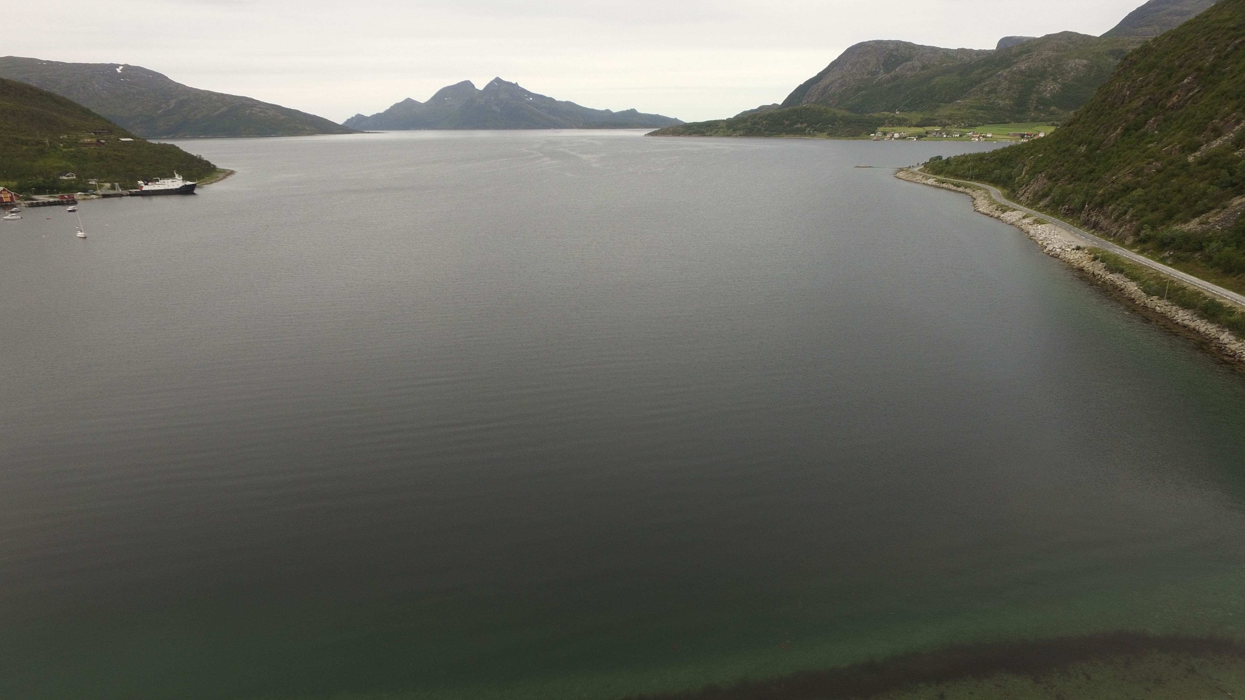
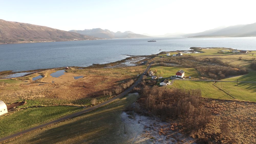
Vikran (old ferry terminal) and Ryøya, Malangen peninsula near Tromsø Northern Norway
PANORAMA 38
Click on the line below to see the interactive 360 Panorama
Mortenhals village, Malangen peninsula, near Tromsø, Northern Norway
PANORAMA 39
Click on the line below to see the interactive 360 Panorama
Sandsvatnet (Sands Lake), and Malangen Fjord Malangen peninsula, near Tromsø, Northern Norway
PANORAMA 40
Click on the line below to see the interactive 360 Panorama
Click on the line below to see the interactive 360 Panorama
Beside Batteriøye (Battery
Island) in Selvik on the Drammen fjord (October 2021)
This is my first attempt at making a 360 image with a DJI Mini 2 drone. The DJI MIni 2 can be programmed to take 360 images automatically (SPHERE seting) built up of 26 individual images. The images were JPG's without exposure bracketing. All camera settings (white balance etc) were set to auto. After the first 26 images were taken the drone was rotated by 45 degrees and another 26 images were taken. The resultant 360 image shown above was composed of the resulting 52 single images stitched together in PTGUI and prepared for web publication using Pano2VR.
This is my first attempt at making a 360 image with a DJI Mini 2 drone. The DJI MIni 2 can be programmed to take 360 images automatically (SPHERE seting) built up of 26 individual images. The images were JPG's without exposure bracketing. All camera settings (white balance etc) were set to auto. After the first 26 images were taken the drone was rotated by 45 degrees and another 26 images were taken. The resultant 360 image shown above was composed of the resulting 52 single images stitched together in PTGUI and prepared for web publication using Pano2VR.
PANORAMA 41
Click on the line below to see the interactive 360 Panorama
Selvik Strømmen on the Drammen
fjord (November 2021)
This is a 2nd attempt at making a 360 image with a DJI Mini 2 drone. The DJI MIni 2 can be programmed to take 360 images automatically (SPHERE seting) built up of 26 individual images. The images were JPG's without exposure bracketing. All camera settings (white balance etc) were set to auto. After the first 26 images were taken the drone was rotated by 45 degrees and another 26 images were taken. The resultant 360 image shown above was composed of the resulting 52 single images stitched together in PTGUI and prepared for web publication using Pano2VR.
This is a 2nd attempt at making a 360 image with a DJI Mini 2 drone. The DJI MIni 2 can be programmed to take 360 images automatically (SPHERE seting) built up of 26 individual images. The images were JPG's without exposure bracketing. All camera settings (white balance etc) were set to auto. After the first 26 images were taken the drone was rotated by 45 degrees and another 26 images were taken. The resultant 360 image shown above was composed of the resulting 52 single images stitched together in PTGUI and prepared for web publication using Pano2VR.
PANORAMA 42
Click on the line below to see the interactive 360 Panorama
Click on the line below to see the interactive 360 Panorama
Selvik Strømmen from
south tip of Battery Island on the Drammen fjord
(November 2021)
This is a 2nd attempt at making a 360 image with a DJI Mini 2 drone. The DJI MIni 2 can be programmed to take 360 images automatically (SPHERE seting) built up of 26 individual images. The images were JPG's without exposure bracketing. All camera settings (white balance etc) were set to auto. After the first 26 images were taken the drone was rotated by 45 degrees and another 26 images were taken. The resultant 360 image shown above was composed of the resulting 52 single images stitched together in PTGUI and prepared for web publication using Pano2VR.
This is a 2nd attempt at making a 360 image with a DJI Mini 2 drone. The DJI MIni 2 can be programmed to take 360 images automatically (SPHERE seting) built up of 26 individual images. The images were JPG's without exposure bracketing. All camera settings (white balance etc) were set to auto. After the first 26 images were taken the drone was rotated by 45 degrees and another 26 images were taken. The resultant 360 image shown above was composed of the resulting 52 single images stitched together in PTGUI and prepared for web publication using Pano2VR.
PANORAMA 43
Click on the line below to see the interactive 360 Panorama
Click on the line below to see the interactive 360 Panorama
Homannsbergbukta Svelvik
(November 2021)
Camera details same as Panorama 42.Dull day ca 3C no wind, overcast
Camera details same as Panorama 42.Dull day ca 3C no wind, overcast
PANORAMA 44
Click on the line below to see the interactive 360 Panorama
Battery Island Svelvik
nighttime (November 2021)
This is a 1st attempt at making a 360 image with a DJI Mini 2 drone at night time. The DJI MIni 2 can be programmed to take 360 images automatically (SPHERE seting) built up of 26 individual images. The images were JPG's without exposure bracketing. All camera settings (white balance etc) were set to auto. After the first 26 images were taken the drone was rotated by 45 degrees and another 26 images were taken. The resultant 360 image shown above was composed of the resulting 52 single images stitched together in PTGUI and prepared for web publication using Pano2VR. ISO settings 3200. Shutter 0.5 sec
This is a 1st attempt at making a 360 image with a DJI Mini 2 drone at night time. The DJI MIni 2 can be programmed to take 360 images automatically (SPHERE seting) built up of 26 individual images. The images were JPG's without exposure bracketing. All camera settings (white balance etc) were set to auto. After the first 26 images were taken the drone was rotated by 45 degrees and another 26 images were taken. The resultant 360 image shown above was composed of the resulting 52 single images stitched together in PTGUI and prepared for web publication using Pano2VR. ISO settings 3200. Shutter 0.5 sec